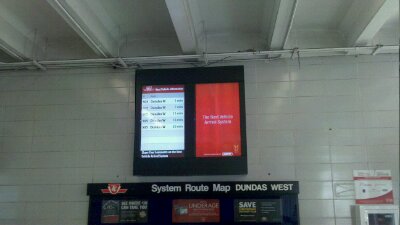
Today I was walking through Dundas west station and saw this announcement board. Its based on GPS in the street cars, months back I had taken a picture of the trail signs at Spadina (Project 365-068: TTC Streetcar Tracking). That struck me is about this sign today is that Dundas West used to have sides forecasting the next arrival of street cars. Over a decade ago they had screen that showed the next schedule vehicles, sure it was based on where they should be and not where they are. But like the Time Line Schedule I always found it helpful.
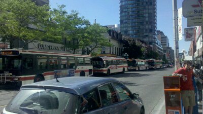
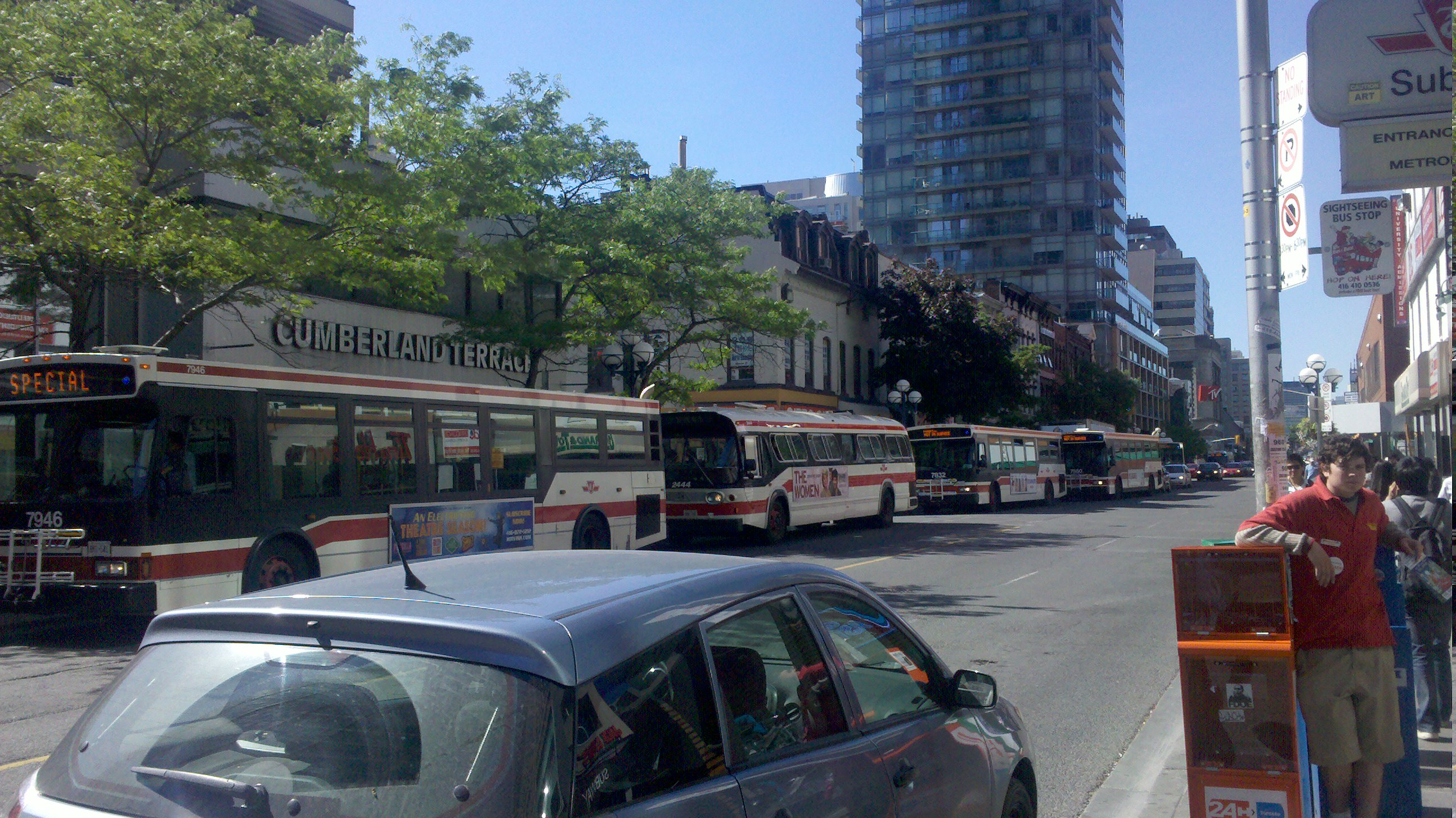
Today I was walking down young street and saw a long line of bus waiting to fill in for the shutdown subway.
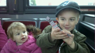
Jacob shows off our day pass to Violet. Usually I would write about our busy day and thwart different places we went, but I think today the picture is enough
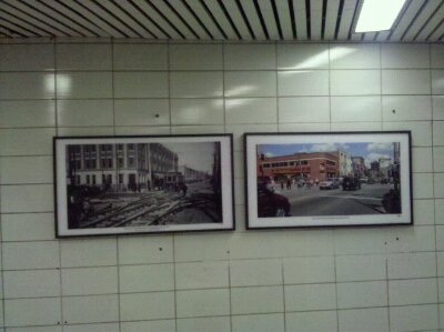
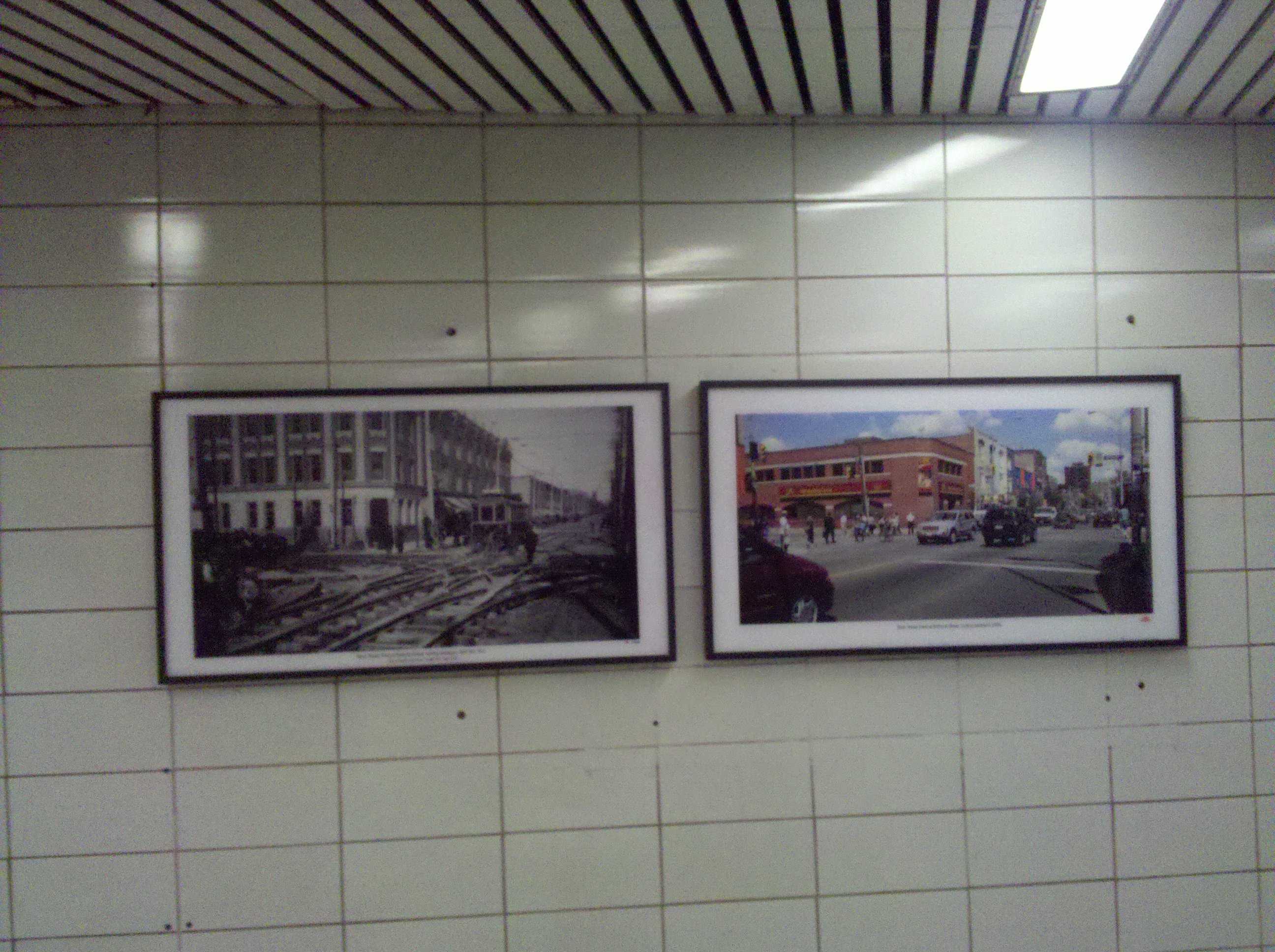
Today on the way to a clients for work I passed through Bathurst Station. There I found todays picture. It’s another picture comparing the past to the present. This time it’s the corner of Bathurst and Bloor. I had planned on a longer time between posts but I was at the station today so I took the shot. Of course I’ve yet to see these type of pictures at any other station so it could be a long time before you see another.
Continue reading “Project 365-110: Looking back at Bathurst”
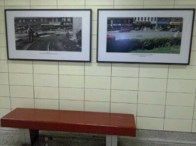
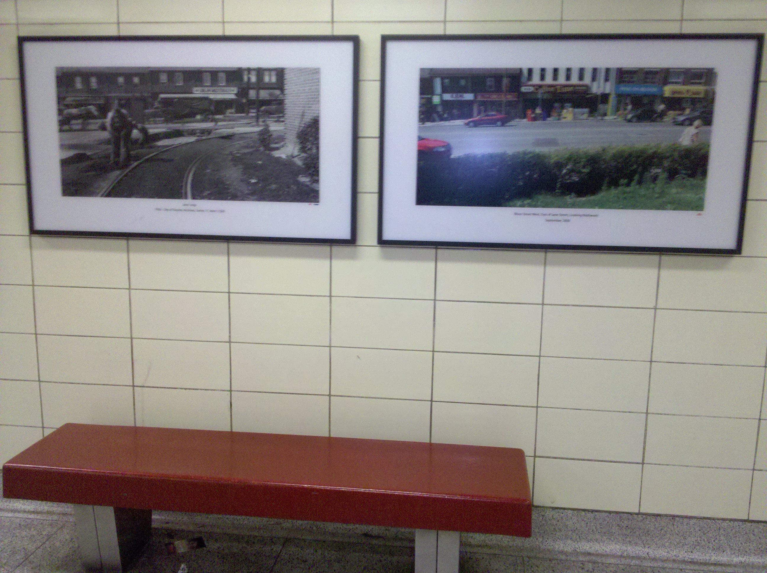
Recently the TTC has put up some pictures of in Jane of what it looked like before the subway and what it looks like now. This morning as I walked past on my way to the office I saw it and thought, that might make a good picture, and here it is. I know that they have it in at least one other station and I hope that they have done it in more. My goal now is to find them and capture them. Though Perhaps I’ll include close ups of each images…
Update: Added close ups
Continue reading “Project 365-107: Reminding us of the Past”
 When I was thinking about what to shoot for today’s photo two random things came together to almost make my choice for me. The first was a client visit, we got a call last week to from a client we’d all but written off, the second was an announcement by the TTC of the expanded availability of GPS based arrival times for most streetcar routes in the city. I spent some time looking at it before heading to the clients this afternoon. So when I got to Spadina station, where a the first trial installation of the GPS system is installed for the publics use, I thought great and snapped today’s picture. The only problem is now when I got to site to check out how it works, I only see two routes not the 5 or 6 I saw earlier. The service when it goes live will be a great help to the TTC riders of the city, I just hope we don’t have to long and that they will offer an open API so people can use the information in their own applications.